Dave's Ramblings
Life on the slow lane of the South Lakes
Pages
Home
Birdbox Cam
Radio Browser
Twitter
Sunday, August 28, 2005
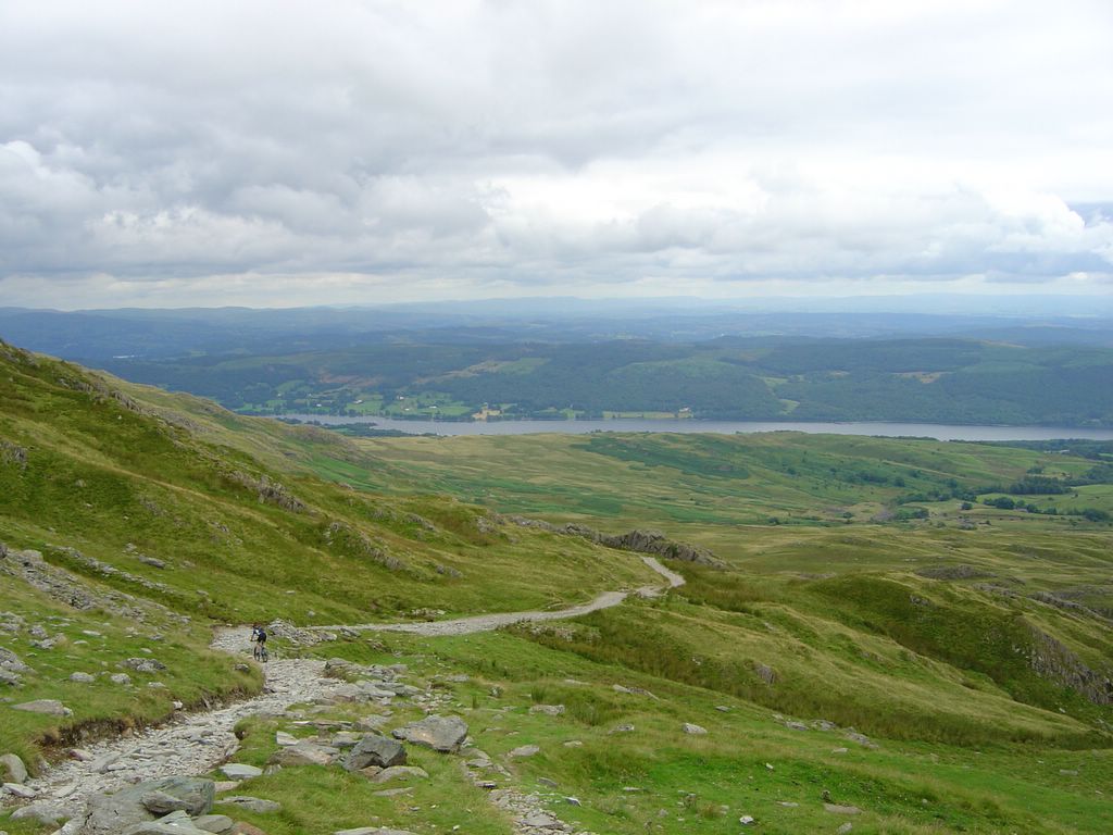
Coniston Old Man - tracked on Google Maps
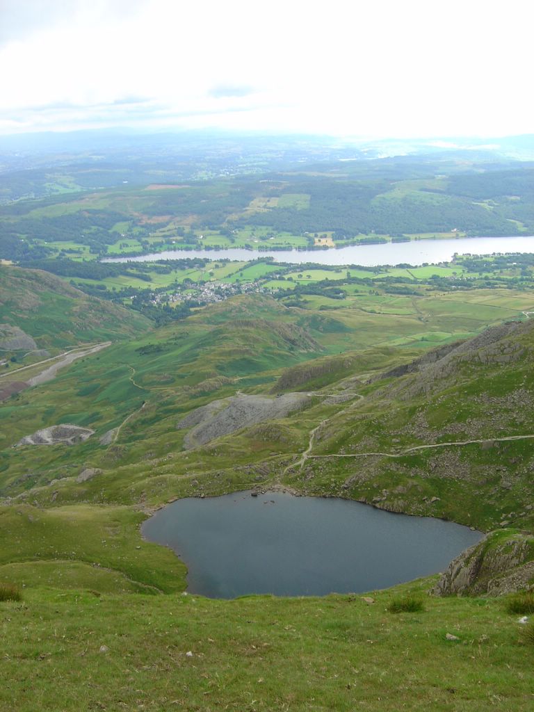
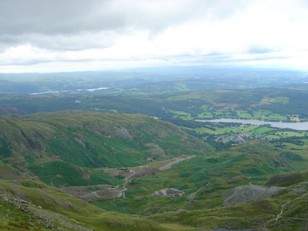
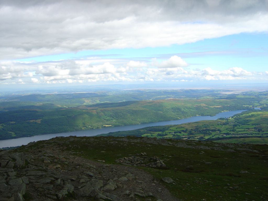
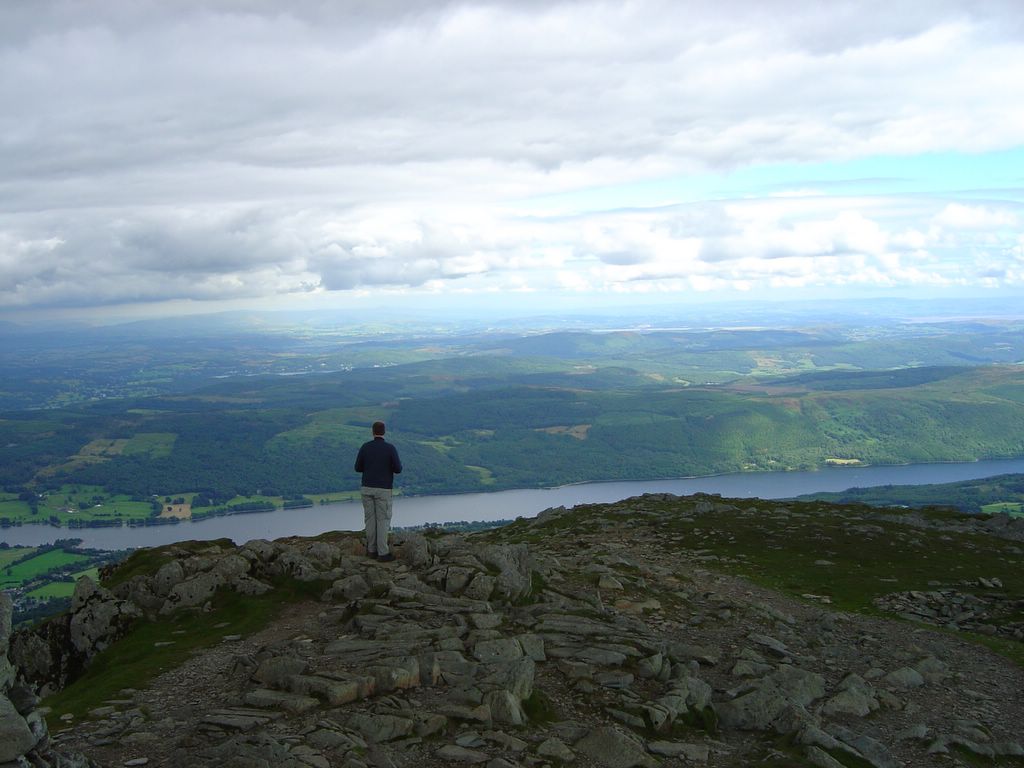
I've taken the log from my GPS for my 10mile hike round Coniston Old Man and ploted the track on Google Maps, giving details on position, distance covered, altitude, speed, time of day and mini photos on the route
http://www35.websamba.com/lakeuk/walk.htm
Sunday, August 14, 2005
Whitbarrow - North - 9th August 2005
Whitbarrow - South - 9th August 2005
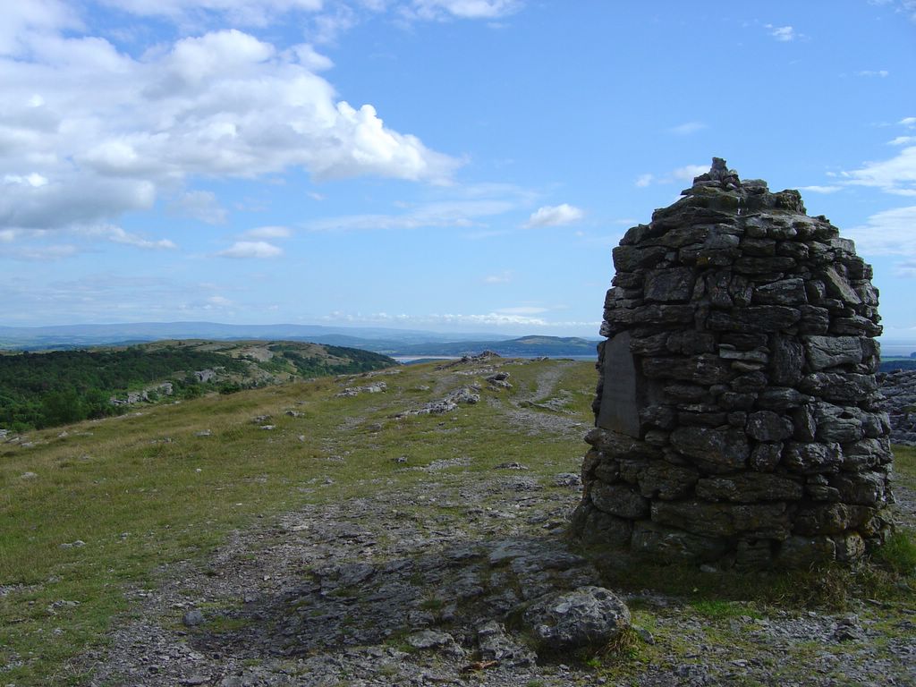
Scouts Scar - 8th August 2005
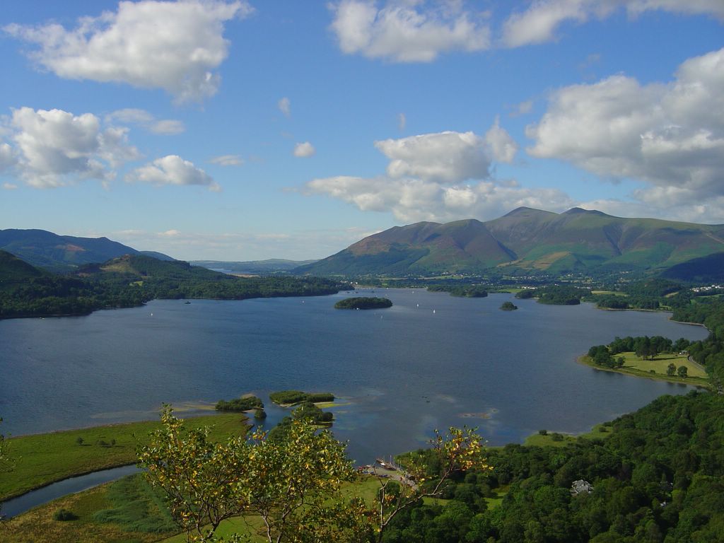
Keswick - 7th August 2005
Keswick - 7th August 2005
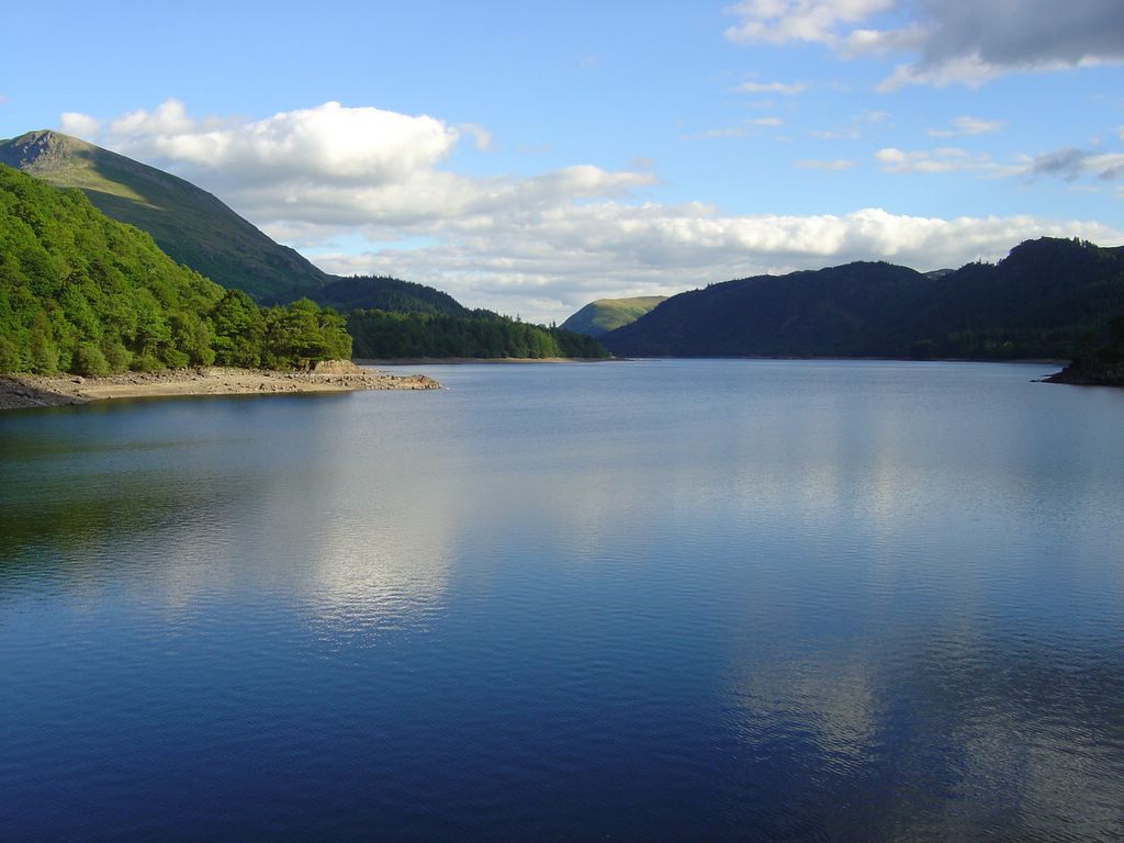
Thirlmere Res - 7th August 2005
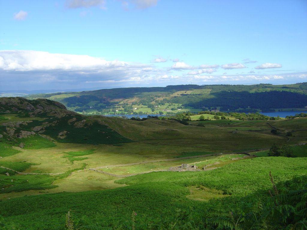
1st Aug 2005
1st Aug 2005
1st Aug 2005
1st Aug 2005
1st Aug 2005
1st Aug 2005
1st Aug 2005
1st Aug 2005
1st Aug 2005
1st Aug 2005
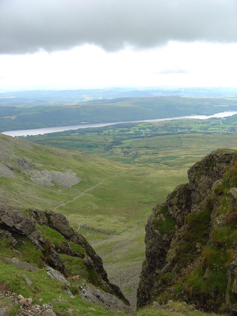
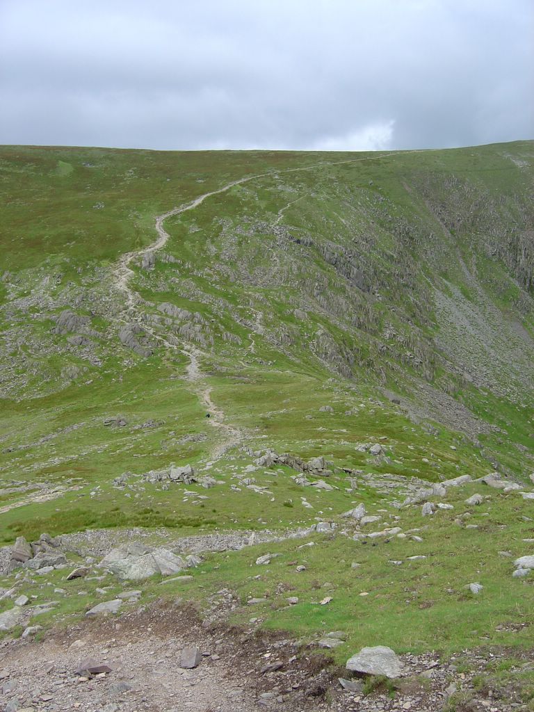
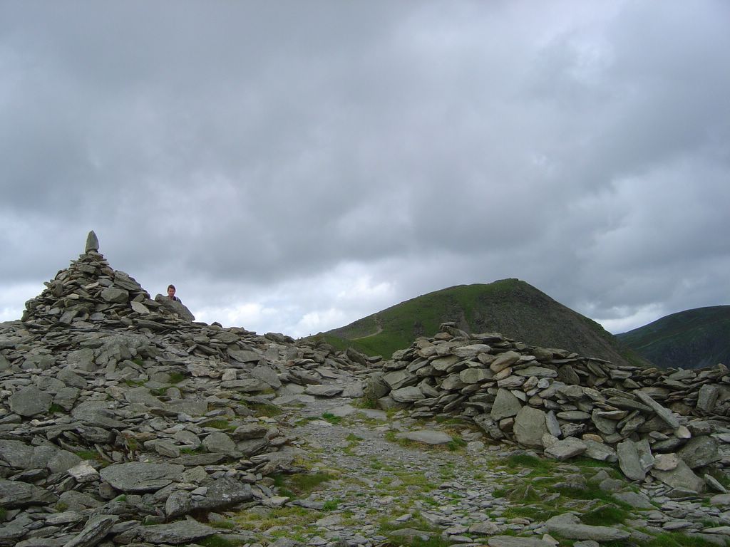
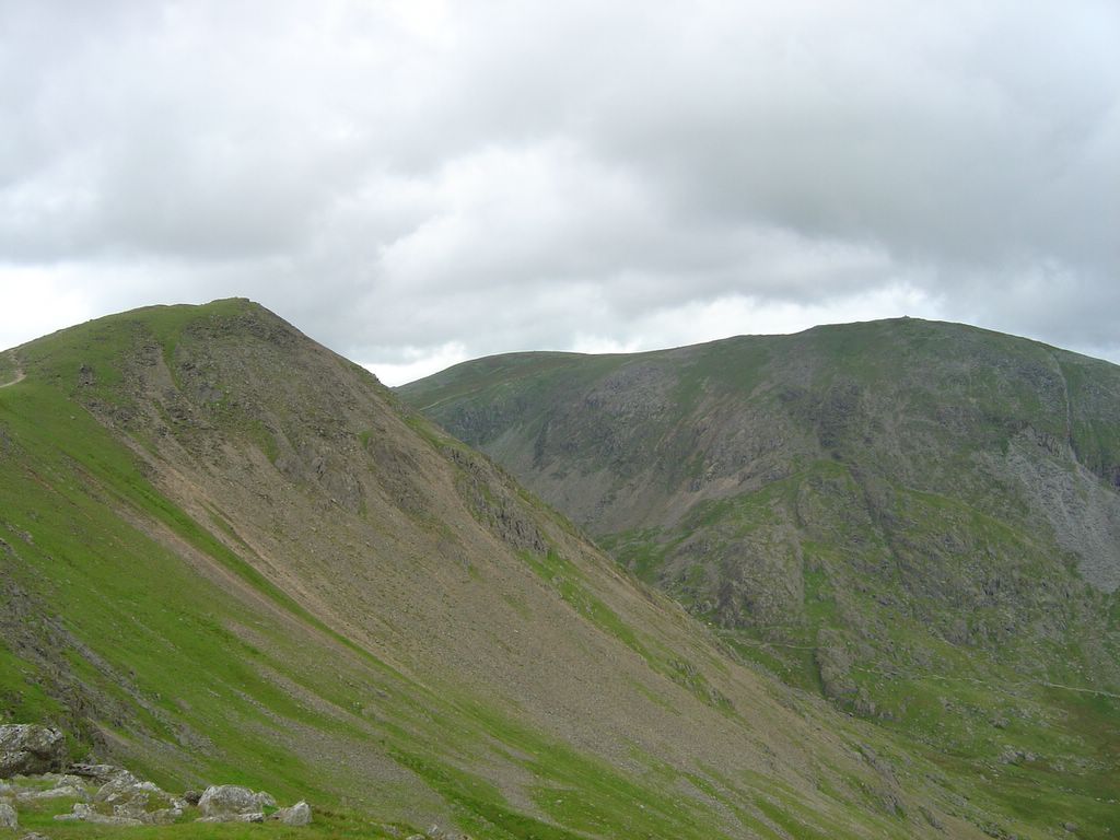
Route round Coniston Old Man (1st Aug 2005)
Newer Posts
Older Posts
Home
Subscribe to:
Posts (Atom)